The Nevada Traveler: Discover exceptional views from Reno’s Huffaker Park lookout trail

View of Reno from the Huffaker Park Lookout Trail.

View of Reno from the Huffaker Park Lookout Trail.
Richard Moreno

Share this: Email | Facebook | X
Perhaps the best and most accessible place to find nice views of the Truckee Meadows is Reno’s Huffaker Hills Regional Park, located in the southern part of the city.
This regional county park contains several miles of hiking trails that wind across some 251 acres located between South McCarran Boulevard and the South Meadows/Double Diamond area.
Developed in 2005, the Huffaker Hills park consists of two loop trails of about 2.5 miles in length that wind up the side of the southwestern-most part of the hills and along a ridge that offers panoramic views of the Truckee Meadows. Additionally, a gazebo can be found near the top of the ridge.
Near the trailhead, the park also offers a nice covered picnic area, playgrounds, an enclosed tennis court and basketball courts.
Obviously, the best aspect of the park is the hiking trail system. Just south of the covered picnic area is the trailhead. You cross a small wooden bridge over a creek and begin the trek up the side of the hills.
This is probably the most challenging part of the hike as you ascend on a fairly steep, dirt pathway via a series of switchbacks. At the top, you reach the gazebo and your first (and perhaps most impressive) scenic outlook.
From here, you can look north over the city of Reno and see Peavine Mountain in the distance. At night, the view can be particularly spectacular.
The trail continues from here along the ridgeline with a handful of smaller, spur trails leading to other outlooks, some with metal benches. The terrain is covered with clusters of native grasses and sagebrush, with large moss-covered volcanic rocks peeking through the vegetation.
The path loops around the southwestern edge of the hills and, at this point offers views of the Damonte Ranch area and, to the west, Mount Rose and the Thomas Creek region.
The hills are named for Granville W. Huffaker, one of the first non-Mormon settlers in the Truckee Meadows. In 1858, he and a partner drove an estimated 500 head of cattle into the area from Salt Lake City and settled onto land near the southwest tip of a string of small hills that would be named for him.
Huffaker had been born in 1831 in Monticello, Ky., and in the early 1850s, he drifted west to Utah. In Salt Lake City, he and Louis P. Drexler operated a general store, which they sold in the late 1850s in order to make their fortunes in Nevada.
Within a few years, Huffaker’s Station, as his 600-acre ranch became known, was home to several hotels and saloons as well as livery stables and express yards. By the mid-1860s, nearly 300 people lived around the settlement.

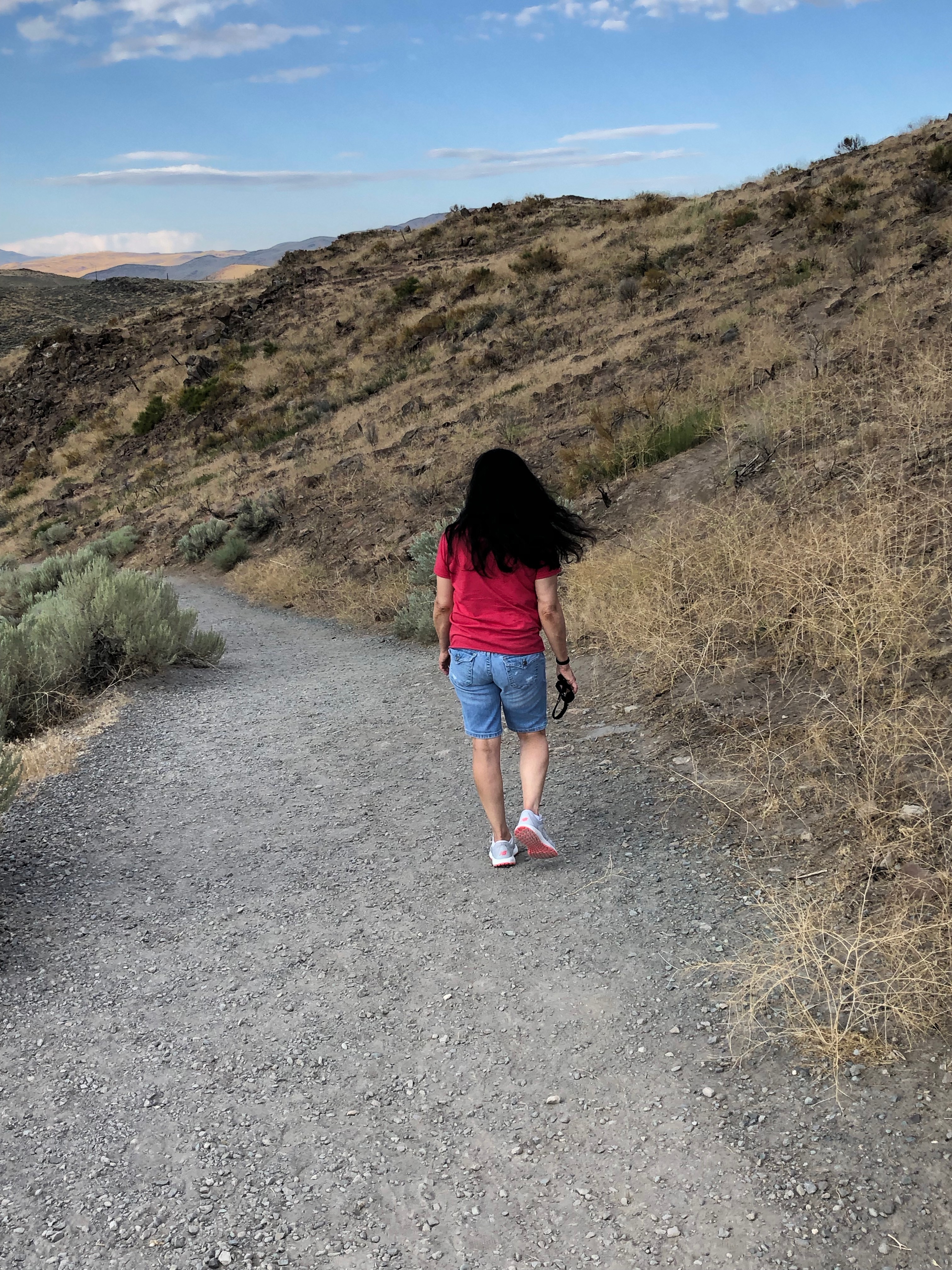
Hiker trudging up the dirt pathway on the Huffaker Park Lookout Trail in south Reno. 

 The station benefited from having an excellent location — it was at the crossroads of the main north-south and east-west travel routes (linking Virginia City and California) — and by the early 1860s was the largest community in the Truckee Meadows.In 1867, a one-room schoolhouse was erected on land donated by Huffaker and served as a popular gathering spot for community dances and meetings. In 1992, the schoolhouse, which had been preserved over the years, was moved to Reno’s Bartley Ranch Park and restored. Today it is open for tours.

For information about hiking the Lookout Trail, go to www.reno.gov/home/showpublisheddocument?id=24086.
Rich Moreno writes about the places and people that make Nevada special.