December 30, 2021
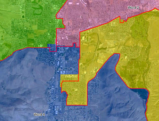
Changes to the election ward map are largely concentrated along the downtown corridor, adding residents to Wards 3 and 4. The clerk-recorder’s office redraws the map every 10 years to reflect population shifts captured in the U.S. Census.
Supervisors unanimously approved Carson City’s election map.
Comments
Use the comment form below to begin a discussion about this content.
Sign in to comment