December 14, 2022
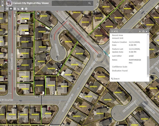
A graphic provided by Carson City Transportation Division showing GIS mapping software. The gray shaded areas depict city right of way. When the area is selected, a dialog box opens and displays a description of the right of way and a link to relevant documents.
Transportation officials are developing a comprehensive GIS map of the city’s right of way.
Comments
Use the comment form below to begin a discussion about this content.
Sign in to comment