A “slider system” is expected to hit the Carson City region early Sunday morning, bringing with it a good chance of snow on the valley floor, according to the National Weather Service.
“Be ready for increasing snow showers and gusty ridge winds Sunday through Monday followed by colder temperatures the first half of next week,” said the NWS.
An uptick in winds is forecast for Saturday, with gusts of 65 mph possible along mountain ridges.
“Once nightfall reaches the region, winds swinging out of the north again will allow colder air to filter overhead due to a trough beginning to dig south from the Canadian border in the Pacific Northwest,” said the NWS.
Snow is likely to begin falling early Sunday morning. Donner Pass north of Lake Tahoe could see up to six inches of new snow, while South Lake Tahoe could see up to four inches. Valleys in western Nevada have a 40-60 percent chance of accumulating up to one inch of snow.
“Snow levels will be down to valley floors, and the character of the snow will be a dry snowfall compared to recent heavy wet snows,” said the NWS.
Lake-effect snow — snow drawing additional moisture from Lake Tahoe — is possible, and mountain roads could be impacted. Commuters should also drive carefully Monday morning.
“Snowfall will be wrapping up early Monday morning, so any residual coating of snow leftover on area roadways has the potential to create a slow, slick Monday morning commute,” the NWS advised. “Adding to this snowy situation, cold temperatures will be dragged southward as the trough carves along the Sierra. There is a possibility for the roads covered in snow to turn icy Monday morning as cars drive over and melt the snow under tires, then cold air refreezing the surfaces.”
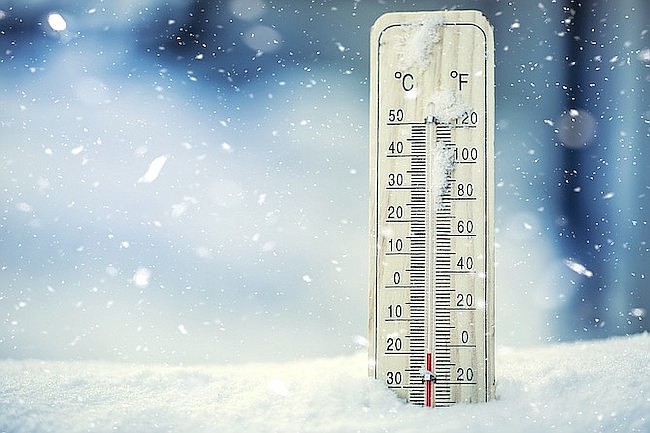
Lows in the 20s are likely for the capital city on Sunday, while highs are expected to hover below freezing. Temperatures could remain frigid through the first half of the week.
“We dry out after the slider exits to our southeast for the remainder of the work week, with signals of another northern Pacific trough that could impact the area for the weekend,” said the NWS.
To check local road conditions, visit nvroads.com.

Comments
Use the comment form below to begin a discussion about this content.
Sign in to comment