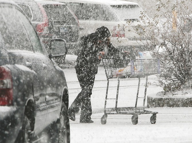
Jim Grant/Nevada AppealA Raley's shopper walks to her vehicle on a snowy Tuesday morning.
More winter weather is expected as snowy conditions contributed to a number off accidents and road closures in the region Tuesday.
According to the National Weather Service, temperatures are expected to plummet for the rest of the week with lows dropping to six degrees tonight and seven degrees on Thanksgiving.
The bout of bitter cold will end Friday as temperatures rise to season norms of lows in the 20s and highs in the 40s.
There's another chance for snow on Saturday.
Traffic through Washoe Valley was detoured about
8 a.m. Tuesday because of poor visibility, slide-offs, and several spin-outs and accidents.
Southbound traffic was sent onto State Route 429 while northbound was routed onto East Lake Boulevard.
A portion of the Mount Rose Highway also was closed due to extremely poor visibility and white-out conditions.
Westbound Interstate 80 traffic was closed to big rigs most of the day. Westbound passenger vehicles were being screened for chains, snow tires or four-wheel drive before being allowed to proceed. Numerous spinouts and slide-offs were reported all morning between Verdi and Stateline.
Just before Tuesday's evening commute, the Carson City Freeway and portions of Washoe Valley were treacherous when a vehicle slid on ice striking the center divide at Arrowhead Drive overpass and two other vehicles hit the divide near the East Lake exit of Highway 395.
The winter storm system that hit the area over the past five days dropped massive amounts of snow in both the upper and lower elevations, bringing smiles to the faces of winter outdoor sports aficionados who were afforded an early opportunity to dust off their equipment and hit the slopes.
Unofficial snowfall totals as of Tuesday afternoon were close to setting records for the month of November, according to Alpine Meadows and Squaw Valley USA. By 2 p.m. Tuesday, Alpine had reported 99 inches or 8.25 feet of snowfall at upper mountain and the snow was still falling.
Rachael Woods, public relations director for Alpine Meadows, said this has been an impressive November for the resort in terms of snow accumulation.
"We have been keeping track of snow accumulation by month since 1970," she said. "In going over the numbers, there has only been two Novembers that have exceeded what we already have, and the storm is not over.
"It's astounding, but we are very excited."
Squaw Valley reported 88 inches of snow as of Tuesday afternoon at upper mountain.
After the weekend, Boreal Mountain Resort reported approximately six feet of snow accumulation at the upper elevations of the resort. By Tuesday afternoon, as the storm's second wave wound down, that number ballooned to more than seven feet.
Regardless if records are set, one thing is for sure - it equates to lots of snow for the upcoming holiday weekend.
"This was the perfect storm," said Andy Chapman, tourism director of the North Lake Tahoe Resort Association. "It came in fast, dropped a ton of snow, setting us up with superior snow conditions and skiing for the holiday weekend. Skiing and boarding at Thanksgiving is what Lake Tahoe is all about."

Comments
Use the comment form below to begin a discussion about this content.
Sign in to comment