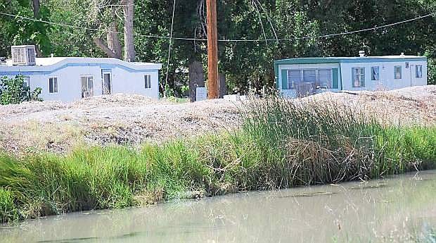
The V-Line canal west of Fallon will be included in a flood study.
Despite a three-year drought, the Carson Water Subconservancy District has locked up a federal grant concerning flood zones in Fallon.
Ed James, general manager for CWSD, told the Truckee-Carson Irrigation District board of directors last week his entity secured a grant from FEMA for a project to research and draw plans for flood areas below Lahontan Reservoir.
Part of the plan, James said, was to determine a way to divert water from Diversion Dam to Sheckler Reservoir in case of major flooding.
In addition, James said the V-Line canal, which flows through the city, can only hold 2,000 cubic-feet per second of water. The line will also be included in the study as James said it is possible for flooding to reach downtown should a major storm occur.
The TCID board, meanwhile, showed skepticism of the plan as they noted the state is suffering a major drought and previous plans for a diversion to Sheckler Reservoir in the past never materialized.
The study is expected to take several months and any implementation of a new diversionary plan would not be in place for years.
Aside from the flood study, James and the board also discussed their concerns with the Truckee River Operating Agreement (TROA) and how it will be implemented.
TROA has been in the works for the past 12 years and affects TCID, the Truckee Meadows Water Authority, Pyramid Lake Paiute Tribe and the state of California.
The concern is who will be the administrator of TROA. Currently, James said there is no administrator, a federal judge will appoint someone.
In other TCID news —
The district’s new database system and applications will be operational for the 2015 election, according to Project Manager Rusty Jardine.
TCID has undergone a massive project to upgrade its software and applications to become more streamlined with customers and reporting water calculations to the U.S. Bureau of Reclamation.
In addition, Jardine said a review of land maps have uncovered customers may have more votes than previously thought. As a result of more detailed data, Jardine said a more accurate acreage may be determined, which would allow those individuals more votes.
A reduction of votes, he added, would not be taken against those landowners with the same amount of acreage.

Comments
Use the comment form below to begin a discussion about this content.
Sign in to comment