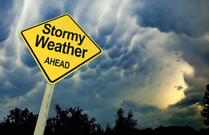
Carson City could see snow at times this weekend starting Friday night, but rain is more likely, according to the National Weather Service.
“A series of systems through the weekend will break down the persistent dry pattern, with the first bringing increased winds Thursday afternoon into Thursday night with fire danger concerns for portions of Mono County,” a weather discussion posted at the NWS website said.
“Rain and snow chances arrive Friday night and Saturday with a second round Sunday. Another period of gusty winds is looking likely for Sunday.”
The high Sierra is forecast to receive between 3 and 7 inches of snow Friday and Saturday Valleys could see less than one-half inch of snow late Friday and early Saturday.
“Sunday will feature a fast moving storm system, not very strong by Sierra standards,” the NWS said.
Snow levels will start at 7,000 to 7,500 feet, with projections ranging from 4-8 inches for areas above 7,500 feet around Tahoe.
Rainfall projections are between 0.1-0.2 inch for the U.S. 395 corridor including Reno-Carson southward through Mono County.
“The weather pattern looks to stay active in the Pacific Northwest through next week, with the Sierra and western Nevada on the southern edge of that active weather,” the NWS said. “It`s possible we could see another storm or two brush by the region with additional light to moderate precipitation around the middle of next week, but the overall storm track still appears to favor the bulk of the moisture staying north of the Oregon border.”
CARSON CITY FORECAST
Thursday night: Mostly clear, with a low around 21. Southwest wind around 10 mph, with gusts as high as 20 mph.
Friday: Partly sunny, with a high near 47. North wind 5 to 10 mph becoming southwest in the afternoon.
Friday night: A chance of snow between 10 p.m. and 1 a.m., then a chance of rain after 1 a.m. Mostly cloudy, with a low around 35. Southwest wind 5 to 10 mph. Chance of precipitation is 40%. Little or no snow accumulation expected.
Saturday: A 50 percent chance of rain. Snow level 6,700 feet. Mostly cloudy, with a high near 49. West wind around 10 mph.
Saturday night: A 10 percent chance of rain after 4 a.m. Snow level 6,200 feet. Mostly cloudy, with a low around 30. Southwest wind around 5 mph becoming calm in the evening.
Sunday: Rain likely, mainly after 10 a.m. Snow level 7,000 feet rising to 7,600 feet in the afternoon. Mostly cloudy, with a high near 53. Chance of precipitation is 60%.
Sunday night: A chance of rain before 1 a.m., then a chance of rain and snow. Snow level 6,600 feet lowering to 5,200 feet after midnight. Mostly cloudy, with a low around 29.
Monday: Partly sunny, with a high near 46.
Monday night: Partly cloudy, with a low around 21.
Tuesday: Mostly sunny, with a high near 48.
Tuesday night: Mostly cloudy, with a low around 26.
Wednesday: Partly sunny, with a high near 49.
-->Carson City could see snow at times this weekend starting Friday night, but rain is more likely, according to the National Weather Service.
“A series of systems through the weekend will break down the persistent dry pattern, with the first bringing increased winds Thursday afternoon into Thursday night with fire danger concerns for portions of Mono County,” a weather discussion posted at the NWS website said.
“Rain and snow chances arrive Friday night and Saturday with a second round Sunday. Another period of gusty winds is looking likely for Sunday.”
The high Sierra is forecast to receive between 3 and 7 inches of snow Friday and Saturday Valleys could see less than one-half inch of snow late Friday and early Saturday.
“Sunday will feature a fast moving storm system, not very strong by Sierra standards,” the NWS said.
Snow levels will start at 7,000 to 7,500 feet, with projections ranging from 4-8 inches for areas above 7,500 feet around Tahoe.
Rainfall projections are between 0.1-0.2 inch for the U.S. 395 corridor including Reno-Carson southward through Mono County.
“The weather pattern looks to stay active in the Pacific Northwest through next week, with the Sierra and western Nevada on the southern edge of that active weather,” the NWS said. “It`s possible we could see another storm or two brush by the region with additional light to moderate precipitation around the middle of next week, but the overall storm track still appears to favor the bulk of the moisture staying north of the Oregon border.”
CARSON CITY FORECAST
Thursday night: Mostly clear, with a low around 21. Southwest wind around 10 mph, with gusts as high as 20 mph.
Friday: Partly sunny, with a high near 47. North wind 5 to 10 mph becoming southwest in the afternoon.
Friday night: A chance of snow between 10 p.m. and 1 a.m., then a chance of rain after 1 a.m. Mostly cloudy, with a low around 35. Southwest wind 5 to 10 mph. Chance of precipitation is 40%. Little or no snow accumulation expected.
Saturday: A 50 percent chance of rain. Snow level 6,700 feet. Mostly cloudy, with a high near 49. West wind around 10 mph.
Saturday night: A 10 percent chance of rain after 4 a.m. Snow level 6,200 feet. Mostly cloudy, with a low around 30. Southwest wind around 5 mph becoming calm in the evening.
Sunday: Rain likely, mainly after 10 a.m. Snow level 7,000 feet rising to 7,600 feet in the afternoon. Mostly cloudy, with a high near 53. Chance of precipitation is 60%.
Sunday night: A chance of rain before 1 a.m., then a chance of rain and snow. Snow level 6,600 feet lowering to 5,200 feet after midnight. Mostly cloudy, with a low around 29.
Monday: Partly sunny, with a high near 46.
Monday night: Partly cloudy, with a low around 21.
Tuesday: Mostly sunny, with a high near 48.
Tuesday night: Mostly cloudy, with a low around 26.
Wednesday: Partly sunny, with a high near 49.