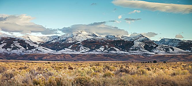
RENO — Northern Nevada’s snowpack is starting the new year strong, but officials warn it will take several more significant storms this winter to replenish area reservoirs.
The Natural Resource Conservation Service says its first snowpack survey of 2020 at the Mt. Rose SNOTEL site southwest of Reno Monday showed average snowpack for the date but below-average precipitation.
NRCS hydrologist Jeff Anderson says the snow depth of 54 inches was 107% of the median. The 16-inch water content was 72% of median.
Last year, the snow depth was 36 inches and water content was 8.9 inches.
Anderson says October and most of November was especially dry so the soil remained dry even after the snow started arriving.
“There is still a lot of winter left,” he said. “We need an average winter to have an average precipitation year.”
Winter snowpack doesn’t usually peak until about April 1.
Snowpack in the Lake Tahoe Basin is 102% of normal for the date and 99% of normal in the Truckee River Basin.
The Owyee River Basin is the state’s strongest snowpack at 123%. The worst reading was the Walker River Basin, 87%.
Others include:
Northern Great Basin, 115%
Lower Humboldt Basin, 117%
Eastern Nevada, 107%

Comments
Use the comment form below to begin a discussion about this content.
Sign in to comment