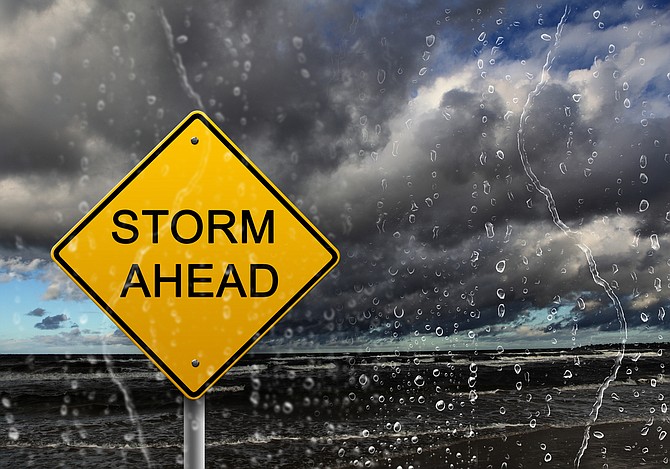
The National Weather Service has issued a “Fire Weather Watch” for Thursday afternoon through Thursday evening for thunderstorms and strong outflow winds.
The watch covers Carson City, Douglas, Lyon, Storey, and southern Washoe counties.
“Isolated to scattered thunderstorms are forecast Wednesday and Thursday afternoons, lasting into the early evening each day,” the watch issued by the NWS said. “Storms will be a hybrid mix of wet and dry, however with recent unusual low humidity, vegetation could be extra receptive to new lightning caused fire starts.
“Confidence with this scenario is medium. It is too soon to tell how extensive lightning outside storm cores will be or how much rainfall is possible each day.”
The forecast also prompted Douglas County officials to warn residents near the Numbers Fire that they could face increased flooding.
The NWS also said there is the potential for flooding the rest of the week in the Fish Springs and Ruhenstroth areas.
The Numbers Fire burned intensely near the wildland urban interface in the Pine Nut Creek and Smelter Creek watersheds. Due to the close proximity of the fire to the urban areas, be aware that areas which have not previously flooded could be impacted, in addition to the Pine Nut Creek wash and the Smelter Creek wash drainage areas and road crossings.
Tips for residents:
• Never drive or walk through flooded streets; Turn Around, Don’t Drown! Do not go through flood waters.
• Stay vigilant and aware of your surroundings
• Sign up for Douglas County’s REVERSE 911 service at www.douglascountynv.gov
• Make sure government alerts are turned on in your phone settings
• Check on your neighbors to make sure they are okay.
• Know what to do before, during, and after a flood.
• Flood insurance takes 30 days to take effect, so purchase now to protect your family!
• Listen to local officials by radio, TV or social media, follow the Douglas County Facebook, Twitter or website for updates
• Evacuate when advised by authorities or if you are in a flood or flash flood prone area.
• If you are on high ground above flooded areas, being prepared to stay where you are may be the best protection.
• Remove yard items which might have the potential for damage.
• Clear away any existing debris which may clog drainage.

Comments
Use the comment form below to begin a discussion about this content.
Sign in to comment