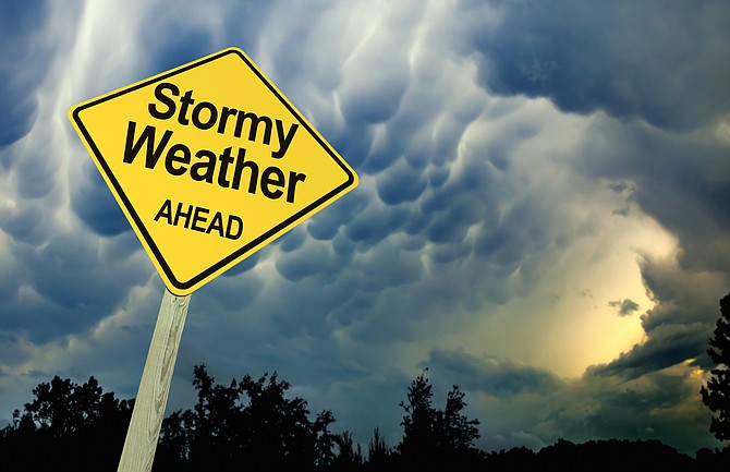
Stormy Weather Ahead Road Sign Against Dark Ominous Sky
Carson City could reach 80 degrees on Saturday and see snow on Tuesday, with rain likely on Sunday and Monday.
Thunderstorms, too, are a possibility.
Ah, spring in Northern Nevada.
The National Weather Service has issued a special weather statement ahead of a storm expected this weekend. While Saturday’s high is forecast to be near 80, “the weather is expected to go downhill Sunday as a late season storm moves into the region,” the NWS said.
The storm “has the potential to produce very strong winds Sunday followed by decent valley rainfall and mountain snowfall early next week.”
Saturday afternoon is expected to be breezy with gusty winds forecast Sunday “with the potential for these winds to become quite strong.
“Snow levels could fall close to lake level and result in snow impacts for area passes Sunday and Monday nights. There is also an increased chance of decent rainfall for much of western Nevada with this storm.”
Monday and Tuesday should be the coldest days, with the snow level Tuesday morning forecast to fall to 5,700 feet.
NWS FORECAST
Thursday night: Partly cloudy, with a low around 37. West wind 10 to 15 mph becoming light after midnight. Winds could gust as high as 25 mph.
Friday: Sunny, with a high near 75. Calm wind becoming northwest around 5 mph in the afternoon.
Friday night: Mostly cloudy, with a low around 45. Northwest wind around 5 mph becoming calm in the evening.
Saturday: Partly sunny, with a high near 80. Light southwest wind increasing to 10 to 15 mph in the afternoon. Winds could gust as high as 30 mph.
Saturday night: Mostly cloudy, with a low around 49. Southwest wind 10 to 15 mph, with gusts as high as 30 mph.
Sunday: A 20 percent chance of rain after 11 a.m. Partly sunny, with a high near 70. Breezy.
Sunday night: Rain likely, mainly after 11 p.m. Mostly cloudy, with a low around 42. Breezy.
Monday: Rain likely before 11 a.m, then showers likely and possibly a thunderstorm after 11 a.m. Snow level 7,800 feet. Partly sunny, with a high near 59.
Monday night: A chance of showers and thunderstorms. Snow level 7,700 feet lowering to 6,200 feet after midnight . Mostly cloudy, with a low around 37.
Tuesday: A chance of showers and thunderstorms. Snow level 5,700 feet rising to 6,700 feet in the afternoon. Mostly cloudy, with a high near 56.
Tuesday night: A chance of showers and thunderstorms. Snow level 7,000 feet lowering to 6,400 feet after midnight. Mostly cloudy, with a low around 37.
Wednesday: A slight chance of showers. Snow level 6,300 feet rising to 7,700 feet in the afternoon. Mostly sunny, with a high near 63.

Comments
Use the comment form below to begin a discussion about this content.
Sign in to comment