Lahontan Reservoir’s storage has fallen to 34,000-acre feet of water as of Monday.
The general manager at Carson Water Subconservancy District (CWDS) presented a report on issues affecting the Carson River and Lahontan Reservoir at last week’s meeting of the Churchill County Commissioners.
Ed James gave an update on the flood map and said within the next six months, he’ll be able to show a final map with modified flood plains.
During his meeting with the commissioners, James also talked about current and future water issues, especially issues developing three to four years in the future.
Because of the Alpine Decree, a federal decree that regulates the appropriation of surface water rights of the Carson River, James said all the water is fully allocated. He said there’s very little storage along the Carson River. He said one idea involves raising the level of Lahontan Reservoir so excess water is not diverted to the desert. The problem with that, he said, is water would back up on U.S. Highway 50 and also flood railroad tracks and homes.
 Steve Ranson / LVN
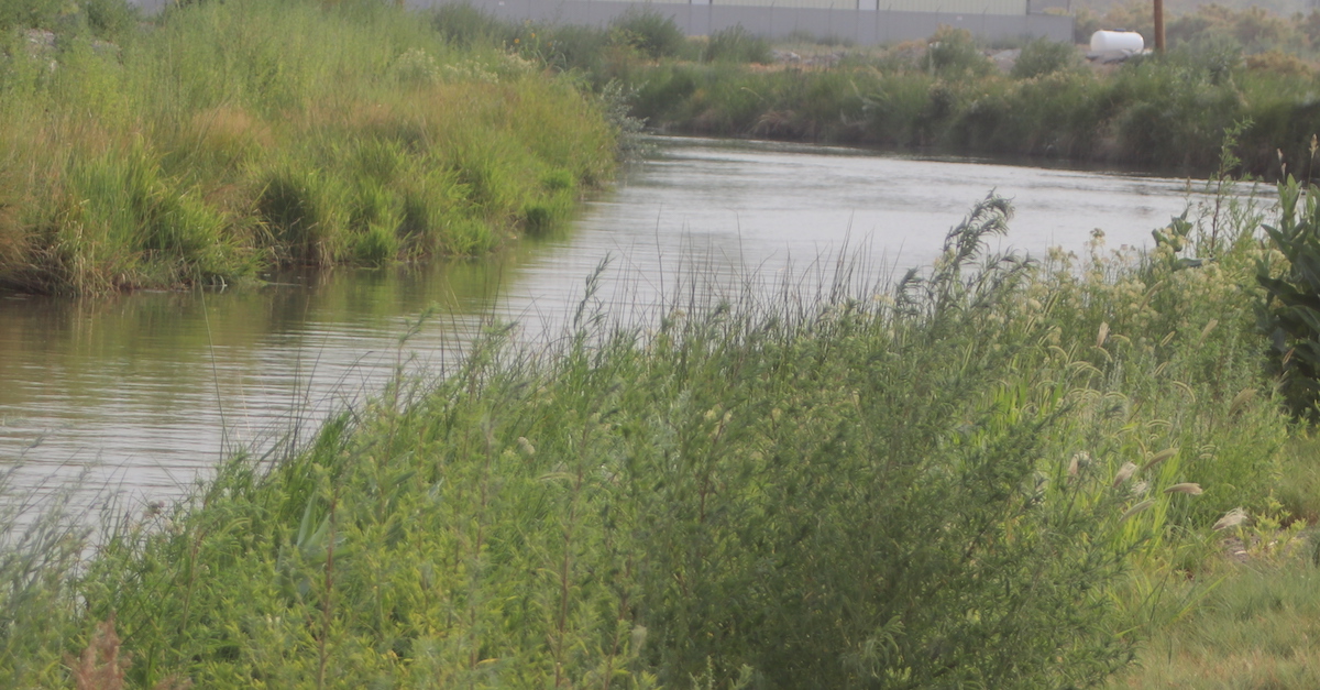
Many of the canals such as the V-Line are still able to deliver water to area ranchers and farmers.
Commissioners updated on water issues
Based on information he gave to commissioner, the cost to expand the existing reservoir’s storage could reach $59 million. New reservoir storage could be as high as $18.6 million.
James said the CWDS has applied for a Bureau of Reclamation WaterSmart grant to develop a regional water management plan. Within the scope of the plan, the CWSD would update the U.S. Geological Survey middle and upper Carson River models, incorporate climate changes and its impact to runoff, evaluate future water demands and evaluate surface and groundwater interaction.
Brenda Hunt, CWSD’s program manager, and James walked the commissioners through the agency’s water marketing and management plan. The plan explains how the CWSD is managing the Carson watershed.
James said climactic conditions taken at Carson City from 1940-2019 have presented some answers that experts already figured. Temperatures have been increasing, and precipitation is decreasing. He also said instream flows from 1940-2018 are showing flows slowly decreasing over each river stretch where water is measured.
For example, James said the average flow at Woodfords, Calif., 6 miles north-northwest of
Markleeville, Calif., in Alpine County, is down almost 8%, and Carson City is down almost 9%. The Carson River flow near Fort Churchill has dropped 3.7%. He said the impacts to instream flows also shows a significant drip between April and June.
James said the Aline Decree allows flexibility, but he added the CWSD must meet the communities’ needs. In order to help area ranchers and farmers meet their water needs, James said 73% of the water flowing into the Lahontan Reservoir came from the Truckee Canal.
In a separate interview, Rusty Jardine, general manager and legal counsel for the Truckee-Carson Irrigation District, said area farmers will be running out of water sometime in August.
As of Monday, Lahontan Reservoir is down to 34,058 acre-feet of water compared to 143,587 AF in 2020 and 280,360 AF two seasons ago.
James pointed out the Carson Valley in Douglas County uses the most groundwater in a study compiled from 2013-2017. The average pumpage of yield exceeds 30,000 acre feet, while the Carson Desert or Churchill County is slightly under 20,000 acre feet for the same time period. Eagle Valley, Dayton Valley and Churchill Valley are each under 10,000.
 Steve Ranson / LVN