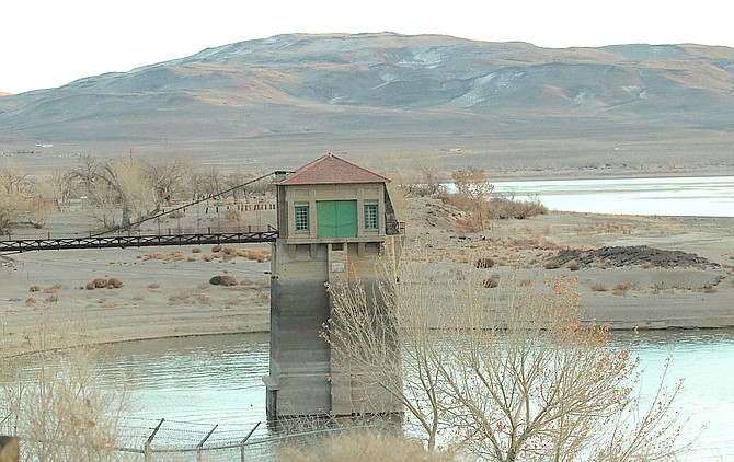
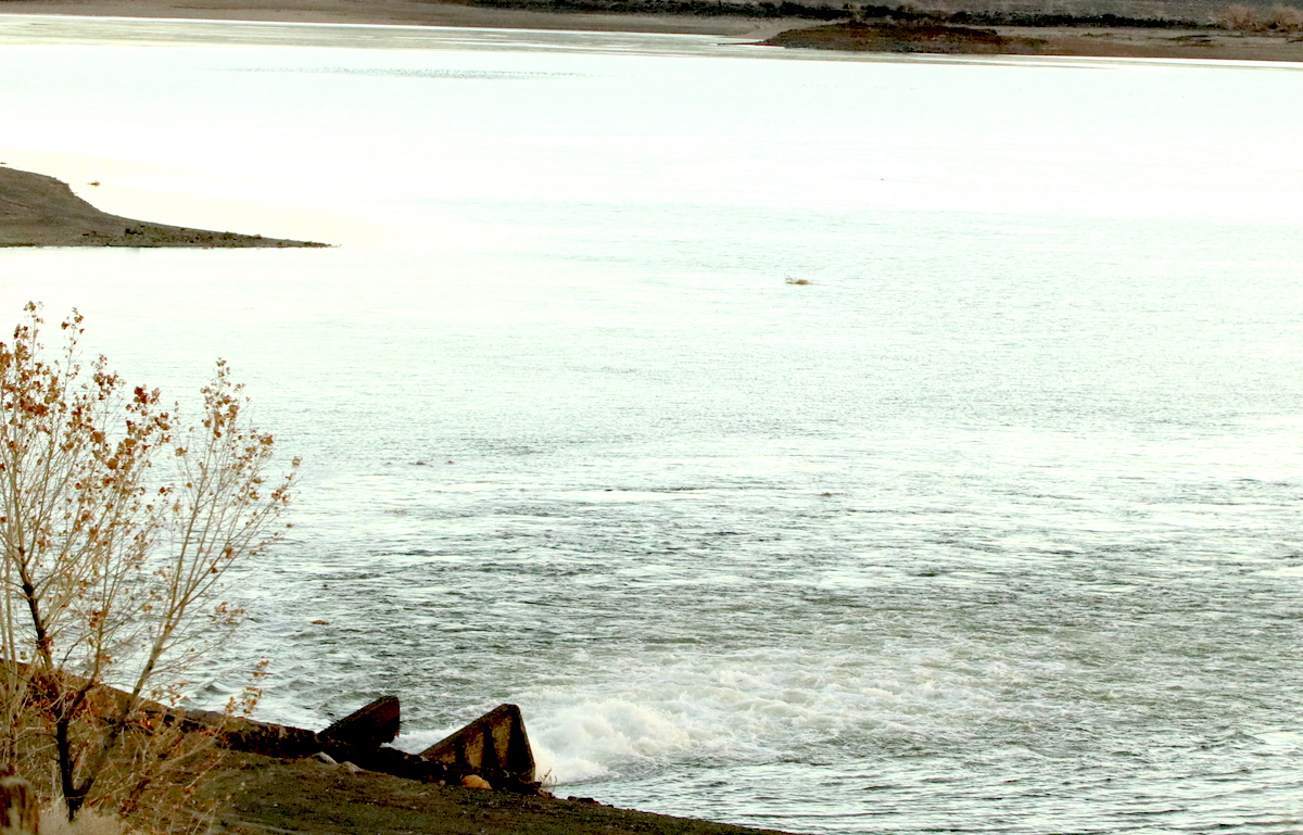
More water has flowed into Lahontan Reservoir during the past month. Water now surrounds the tower near Lahontan Dam.
Photo by Steve Ranson.
 Steve Ranson/LVN
Anderson said the storms have made a major dent in the drought, causing most of western Nevada a including Churchill and Lyon counties, to go from exceptional drought to moderate drought. The U.S. Drought Monitor’s latest map shows only a small area that remains in an exceptional drought, and that includes northeastern section of Nye County and the extreme western area of Lincoln County.
“The drought is not over, but the severity of drought conditions has improved,” Anderson said.
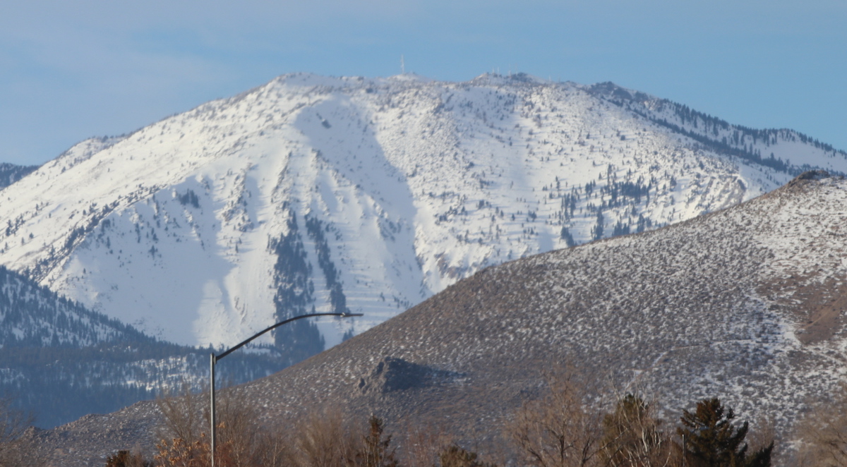
The Jan. 10 SNOTEL reading show a snow depth at Mt. Rose summit of 90 inches which contains a water content of 27.4 inches. Compared to the first reading of 2021, the snow depth was 3 feet which contained 10.1 inches of water content.
In December, Anderson said the snow depth increased from 15 inches to 115 inches, and the water content increased by 27 inches resulting in the third biggest December on record. Furthermore, Anderson said most SNOTELs on Lake Tahoe’s west side recorded its biggest December, and all SNOTELs on Tahoe’s east side recorded their third highest December.
Rusty Jardine, general manager and legal counsel for the Truckee-Carson Irrigation District, remains optimistic for a good water year.
“While the snowpack really looks promising, we’re hoping it continues,” Jardine said.
Because of the snowpack and water content in both the Carson and Truckee basins, Jardine said there is no water diversion from the Truckee River to the Truckee Canal at Derby Dam.
“We’re meeting our storage targets at this time,” Jardine said.
After the latest readings were released on the U.S. Drought Monitor website, Jardine said the change is welcome, but more precipitation needs to fall in western Nevada and in the Sierra Nevada.
After the December storms, Jardine was hoping for a repeat of January 2017. Lahontan Reservoir showed a water content on July 1, 2017, of 64,924 acre-feet of water, only 5,740 acre-feet of water behind the 2017 total on the same day. Yet, with the series of storms, the reservoir’s reading on Jan. 17, 2017, was 135,835 acre-feet.
Sunday’s reading showed the reservoir with 777,356 acre-feet. That’s comparable with last year’s measurement on the same day with 79,370 acre feet.
One acre-foot equals about 326,000 gallons, or enough water to cover an acre of land. Lahontan Reservoir holds 308,000 acre feet.
The Carson River water flow at the Fort Churchill was 1,220 cubic feet per second on Jan. 17, 2017, well above the 234 CFS reading for Sunday. A CFS is a rate of water flow that supplies 1 cubic foot of water in one second or 7.48 gallons.
 Steve Ranson/LVN