Adobe Stock
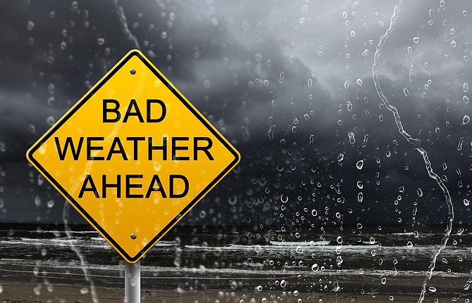
Rain showers and a shot of snow are expected Saturday night into Sunday morning in the Carson City region, according to the National Weather Service.
A 25 percent chance of rain is forecast for Saturday afternoon. That will turn to an 85 percent chance for precipitation by late Saturday night. A quarter of an inch of rain is possible heading into Sunday morning. As temperatures drop from the 40s down near freezing, rain is likely to turn into snow. Sunday morning will arrive with a 55 percent chance of snow as snow levels drop to valley floors. Valley accumulations are expected to stay under an inch.
The NWS has issued a winter storm watch through Sunday for the greater Lake Tahoe region. Strong winds at the lake are a concern.
“A combination of winds and waves may capsize small vessels on Lake Tahoe,” warned the NWS.
As the storm pushes through Saturday evening, wind gusts on the mountaintops could reach 100 mph, while the Highway 395 corridor in western Nevada and eastern California could see gusts of more than 55 mph.
The NWS said the greatest travel impacts will be in the Sierra late Saturday night through Sunday morning. Whiteout conditions in the mountains are possible as two feet of snow could fall above 7,000 feet.
“The colder and unstable air mass will allow for scattered snow shower activity into parts of western Nevada as well, although accumulations will be spotty and light,” said the NWS. “Lingering snow showers should wind down quickly by Sunday evening, although slick and icy patches may develop in locations that receive late day snow showers as temperatures drop below freezing.”
Road conditions in Nevada can be checked at nvroads.com.
After the storm clears out, high pressure is expected to return to the region, leading to dry conditions for the beginning of the work week. Another weaker system could affect the Sierra mid-week, according to the NWS.