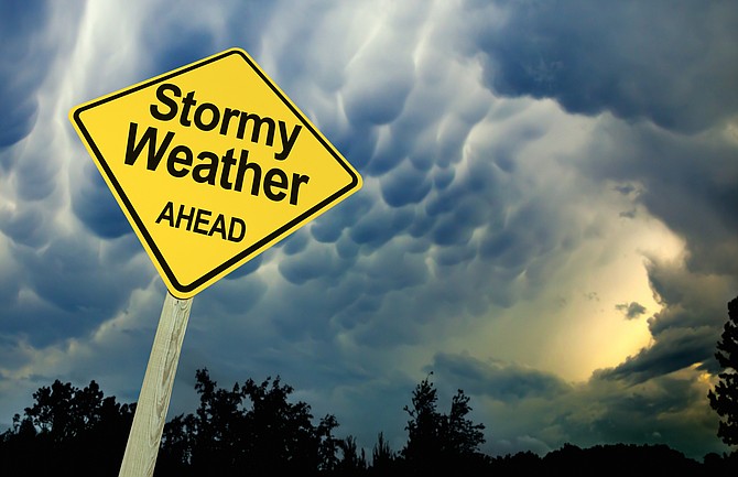
High winds are likely Sunday with a chance of snow starting Sunday night in Carson City, according to the National Weather Service.
“Southwest to west winds are on the increase Sunday with widespread 30-40 mph gusts, locally stronger in wind prone locations,” the NWS said in a special weather statement posted at weather.gov. “Sierra ridgelines could see gusts reach 80 mph. Winds will weaken, but remain breezy out of the northwest on Monday.
The chance of snow overnight Sunday is 30 percent but that increases to 60 percent overnight Monday.
“A quick shot of snow showers is anticipated Sunday night into Monday morning with the cold front, and additional snow showers are probable Monday night through Wednesday,” the NWS statement said. “While overall totals will be light … It may be best to allow extra time for the morning commute Monday through Wednesday.
“High temperatures Tuesday and Wednesday may not get out of the 30s in even the warmest of valleys, with teens and 20s in the mountains. Overnight lows will likely be coldest Tuesday and Wednesday nights.”
THE FORECAST
Sunday night: Scattered snow showers after 10 p.m. Increasing clouds, with a low around 24. Southwest wind 10 to 15 mph becoming north in the evening. Chance of precipitation is 30%. New snow accumulation of less than one inch possible.
Monday: Scattered snow showers, mainly before 10 a.m., then a chance of snow after 4 p.m. Partly sunny, with a high near 42. Northwest wind around 10 mph, with gusts as high as 20 mph. Chance of precipitation is 40%. New snow accumulation of less than one inch possible.
Monday night: Snow likely, mainly after 10 p.m. Mostly cloudy, with a low around 18. Southwest wind 5 to 15 mph. Chance of precipitation is 60%. New snow accumulation of less than one inch possible.
Tuesday: Snow likely, mainly before 4 p.m. Mostly cloudy, with a high near 35. West wind around 5 mph. Chance of precipitation is 70%. New snow accumulation of 1 to 3 inches possible.
Tuesday night: A 30 percent chance of snow before 10 p.m. Mostly cloudy, with a low around 13. Northwest wind around 5 mph becoming calm in the evening. New snow accumulation of less than a half inch possible.
Wednesday: Mostly cloudy, then gradually becoming sunny, with a high near 34.
Wednesday night: Mostly clear, with a low around 10.
Thursday: Sunny, with a high near 43.