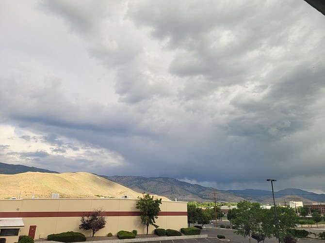
Showers and thunderstorms will continue across Western Nevada and the Sierra today, forecasters say.
This afternoon the potential for storms increases. Isolated storms remain possible into the weekend.
“Hazards with these storms include lightning with new fire starts possible, gusty/erratic winds, heavy rainfall with an elevated risk for flash flooding,” the forecast states.
More than 56,000 lightning strikes were detected across Southern and Central California between 4 p.m. Tuesday and 2 a.m. Thursday, forecasters said this morning.
According to lightningmaps.org, there were a handful of lightning strikes around Fallon around 5 a.m. today.
Forecast:
Today: Scattered showers, with thunderstorms also possible after 3pm. Partly sunny, with a high near 84. West wind 5 to 10 mph increasing to 10 to 15 mph in the afternoon. Winds could gust as high as 30 mph. Chance of precipitation is 30%.
Tonight: Isolated showers and thunderstorms before 9pm. Mostly cloudy, then gradually becoming clear, with a low around 56. Southwest wind 5 to 15 mph. Chance of precipitation is 20%.
Friday: Sunny, with a high near 89. West wind 5 to 15 mph becoming south in the morning.
Friday Night: Mostly clear, with a low around 58. West wind 5 to 15 mph.
Saturday: Sunny, with a high near 91. Calm wind becoming west around 5 mph in the afternoon.
Saturday Night: Mostly clear, with a low around 59. West wind 5 to 10 mph.
Sunday: Sunny, with a high near 93.
Sunday Night: Mostly clear, with a low around 59.